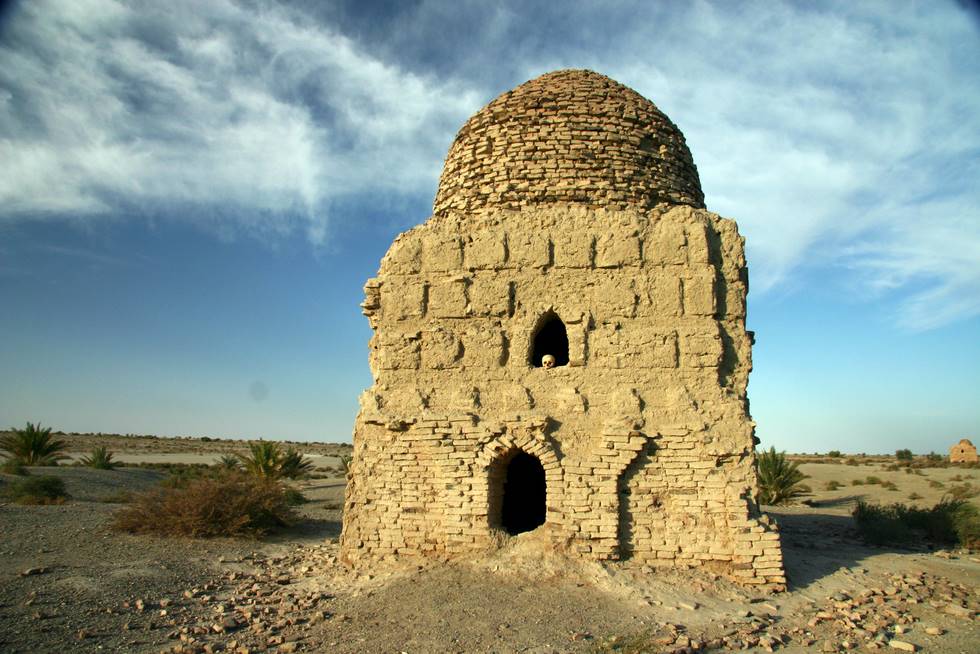
Kharan (Urdu: خاران) is a district in the north-west of Balochistan province of Pakistan.[1]Kharan was notified as a district in 1951 and the Deputy Commissioner’s office started functioning on March 15 1952. It is one of the oldest districts of Balochistan. The Deputy Commissioner directly supervises all activities in the district. He also supervises the functions of all Departments through the district-level heads of these Departments. The district is divided into five Tehsils, eleven Patwar Circles and 394 Mauzas (villages). Pakistan's secondnuclear test was performed in the Kharan desert on May 30, 1998 with a miniaturised device yielding 60 percent of the Ras Koh Hills tests.[2] The population of Kharan district was estimated to be over 250,000 in 2005. Over 99% of the people of the area are Muslims. The mainBaloch tribes of the district are [Muhammad Hasni] Nausherwani and Mengal. The Tauqi tribe also lives in the area.
Kharan District
Kharan District — District — Map of Balochistan with Kharan District highlighted Country ![]() Pakistan
PakistanProvince Balochistan Capital Kharan Established March 15, 1952 Government - District Nazim Shoukat Ali - District Naib Nazim Sardar Gul Hassan Area - Total 48,051 km2 (18,552.6 sq mi) Population (1998) - Total 206,909 - Density 4/km2 (10.4/sq mi) Time zone PST (UTC+5) District Council Number ofTehsils 5
The district is administratively subdivided into the following tehsils:[edit]Administration[edit]Notable people
[edit]Population
Thanks for visiting!
Subscribe
Blog Archive
-
▼
2010
(91)
-
▼
May
(54)
- Chabahar Iran Balochistan
- GAWADAR PICS
- Makran
- DERA BUGTI DISTRICT
- GWADAR DISTRICT
- AWARAN DISTRICT
- KALAT DISTRICT
- LASBELA DISTRICT
- JHAL MAGSI DISTRICT
- MUSAKHEL DISTRICT
- KHUZDAR DISTRICT
- KECH DISTRICT
- NASEERABAD DISTRICT
- ZHOB DISTRICT
- BOLAN DISTRICT
- BARKHAN DISTRICT
- LORALAI DISTRICT
- KHARAN DISTRICT
- ZIARAT DISTRICT
- SIBI DISTRICT
- HUB
- Nushki District
- History Of Baloch People
- BUGTI TRIBE
- Raisani Tribe
- Marri Tribe
- Mengal Tribe
- MAZARI TRIBE
- LEHRI TRIBE
- LEGHARI TRIBE
- KETHRAN TRIBE
- JAMALI TRIBE
- MOHAMMAD HASSNI TRIBE
- GORSHANI TRIBE
- KHOSA TRIBE
- LASHARI TRIBE
- BANGULZAI TRIBE
- BADINI TRIBE
- BUZDAR TRIBE
- Buledi TRIBE
- Bizenjo TRIBE
- Domki Tribe
- Magsi Tribe
- GWADAR Largest Deep Seaport - Pakistan's Gold Gift...
- Balochistan's beaches , coasts & shores
- Gwadar City
- Beautiful Balochistan
- Balochistan landscapes
- BEAUTIFUL BALOCHISTAN
- BALOCHISTAN
- Bugti Balochi Marriage Chaap
- Baloch
- Baloch People
- sabz ali bugti singing about nawab bugtis shahadat...
-
▼
May
(54)


0 comments:
Post a Comment